Videos
Studies
The first bespoke landcover map for the whole Polesia is a tool that enables dynamic monitoring of the landscape over seasons and longer periods. It also facilitates various environmental analyses, like dynamic monitoring of restoration or degradation of natural areas, changes in land use, and analyzing the intensity of seasonal floods. The tool can also be of use for assessing landscape connectivity, mapping species distribution, or protected areas enlargement.
The method implemented by authors of this landcover map can be adapted for a variety of landscapes, including those beyond Polesia.
The authors of the research used the global FRY database and cloud-based software to analyze 5,338 large fires that occurred in Polesia throughout the 19-year-old period – from 2001 to 2019. The study area amounted to over 155 thousand square kilometers. The researchers mapped the seasonal distribution of large fires, identified the environmental and human drivers of fire size and occurrence with a particular focus on areas of high conservation importance.
The researchers underline that maintaining and restoration of natural hydrological regimes in the area, primarily rewetting of degraded peatlands, is seen as the most effective nature-based measure protecting carbon-storing ecosystems, assisting to biodiversity conservation and at the same time making the landscape more resilient to extensive fires.
Authors of the study elaborated a reproducible methodology that can be applied to other understudied regions positively impacting landscape restoration and effectiveness of fire protection measures.
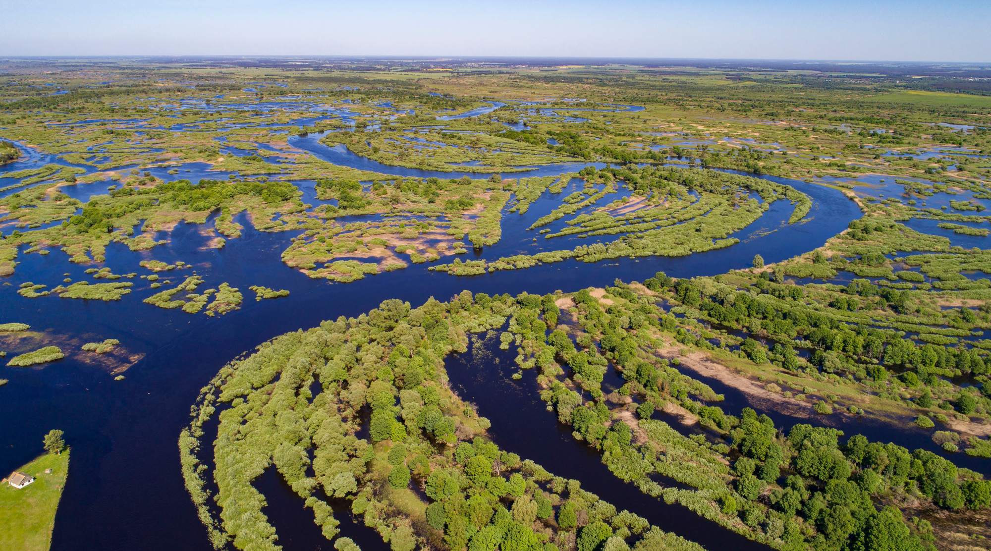
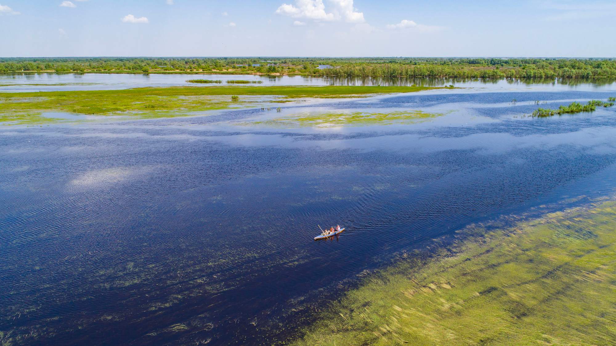
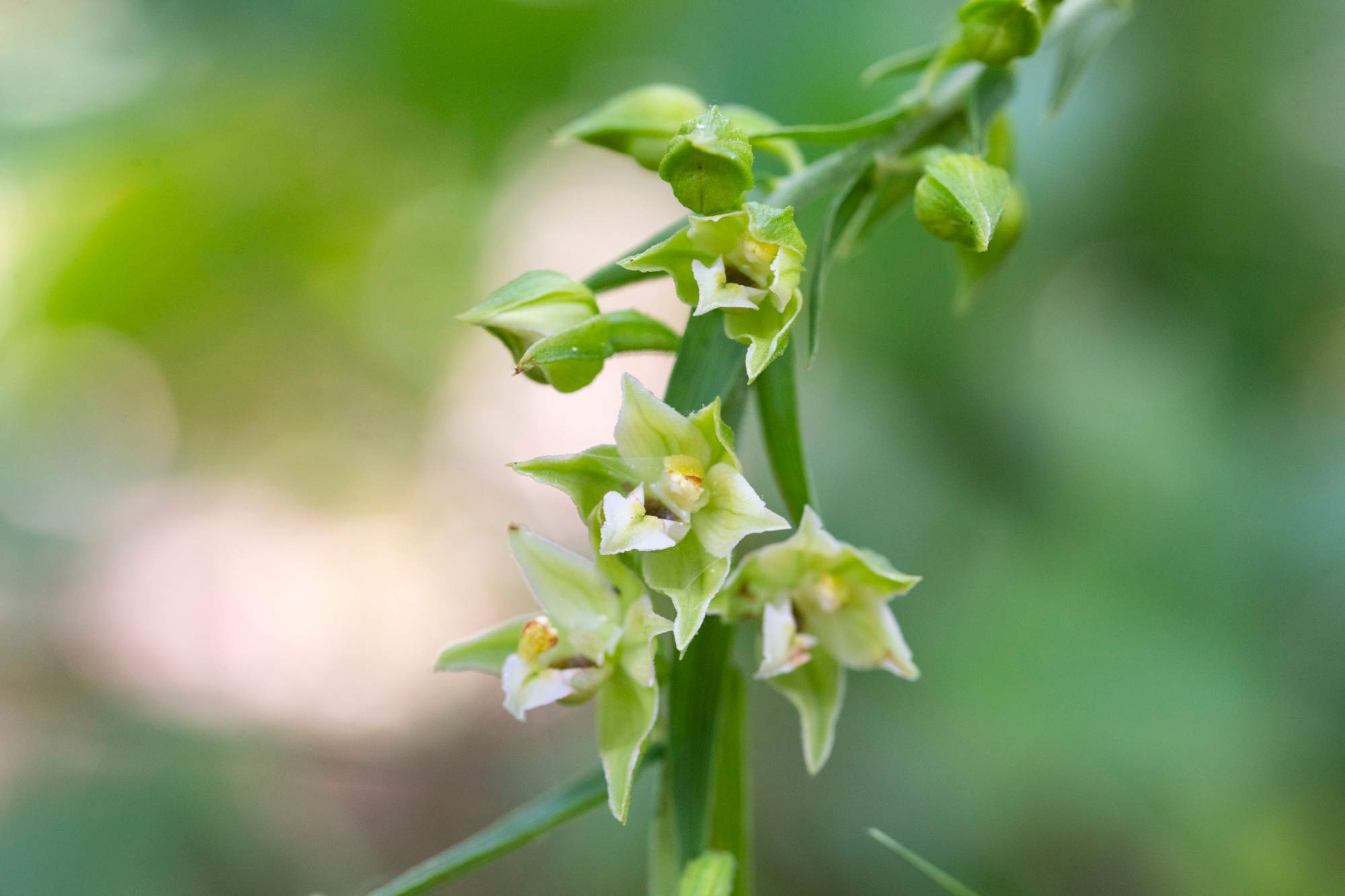
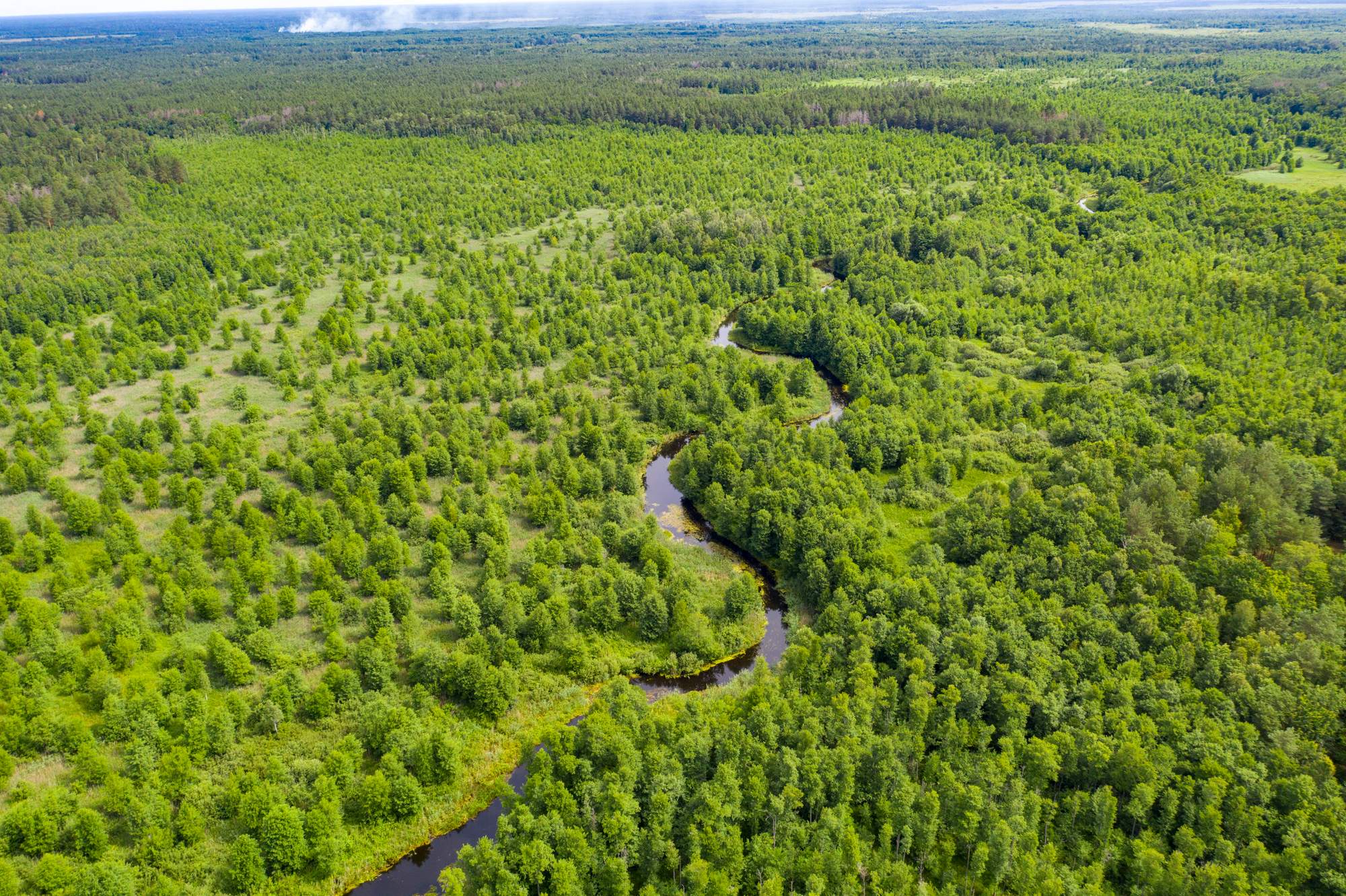
The project “Polesia – Wilderness Without Borders” is part of the Endangered Landscapes Programme and is funded by Arcadia. The project is coordinated by Frankfurt Zoological Society (FZS).